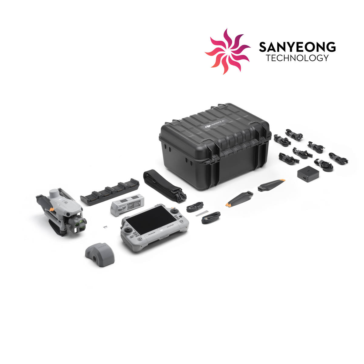
COMPACT MAPPING PLATFORM FOR PROFESSIONAL FIELD TEAMS
OVERVIEW DJI Matrice 4E is designed for mapping and geospatial workflows that need portability, fast deployment and precise image capture. Its 4/3-inch 20 MP wide camera with mechanical shutter is built for efficient mapping, while medium-tele and tele cameras add flexibility for site observation and documentation.
BEST FOR • Land surveying and aerial mapping • Construction progress and site documentation • Topographic and stockpile mapping • AEC and infrastructure projects • Professional geospatial data collection
KEY CAPABILITIES • 4/3-inch 20 MP wide camera with mechanical shutter • 48 MP medium tele and 48 MP tele cameras • Integrated laser rangefinder • RTK positioning support • Up to 49 minutes maximum flight time
NEED HELP CHOOSING THE RIGHT SETUP? Share your required accuracy, project area and output such as orthomosaic, 3D model or survey deliverables. Sanyeong can recommend the aircraft, RTK and DJI Terra workflow.