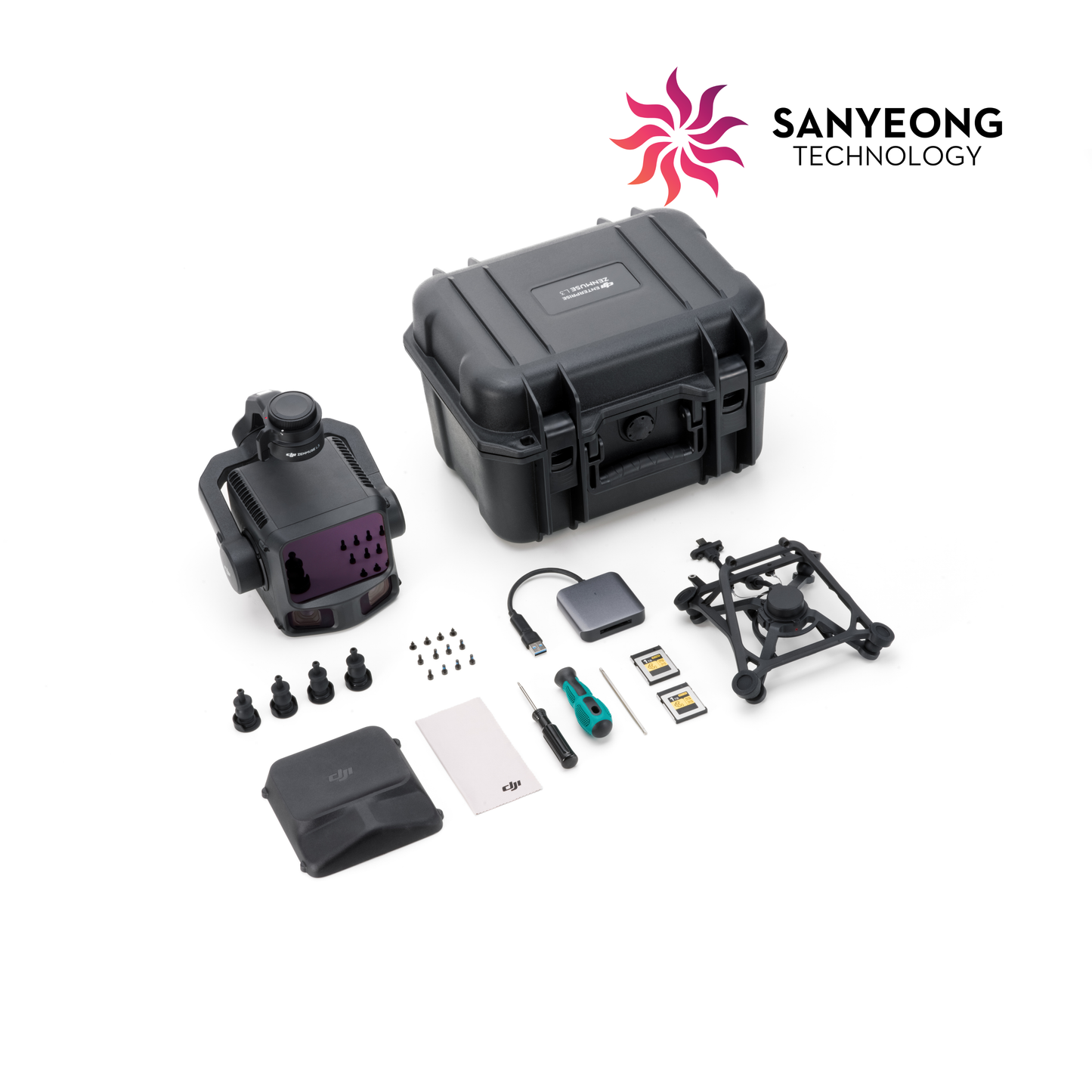
OVERVIEW DJI Zenmuse L3 integrates LiDAR, a high-accuracy positioning and orientation system, and a high-resolution RGB mapping camera into a single payload for professional geospatial data capture. It is designed for teams working on terrain, corridor, infrastructure and large-area mapping projects.
BEST FOR • Topographic and terrain mapping • Corridor and powerline mapping • Forestry and vegetation structure • Infrastructure and engineering surveys • Professional point-cloud production
KEY CAPABILITIES • LiDAR and RGB mapping in one payload • 100 MP 4/3-inch RGB mapping camera • High-accuracy RTK/PPK positioning workflow • Point-cloud accuracy designed for professional mapping • Optimised workflow with DJI Terra
NEED HELP CHOOSING THE RIGHT SETUP? Tell us your required accuracy, area, terrain and deliverables. Sanyeong can recommend a Matrice 400 + L3 + D-RTK 3 + DJI Terra workflow.