DJI Terra
DJI Terra
DJI Terra
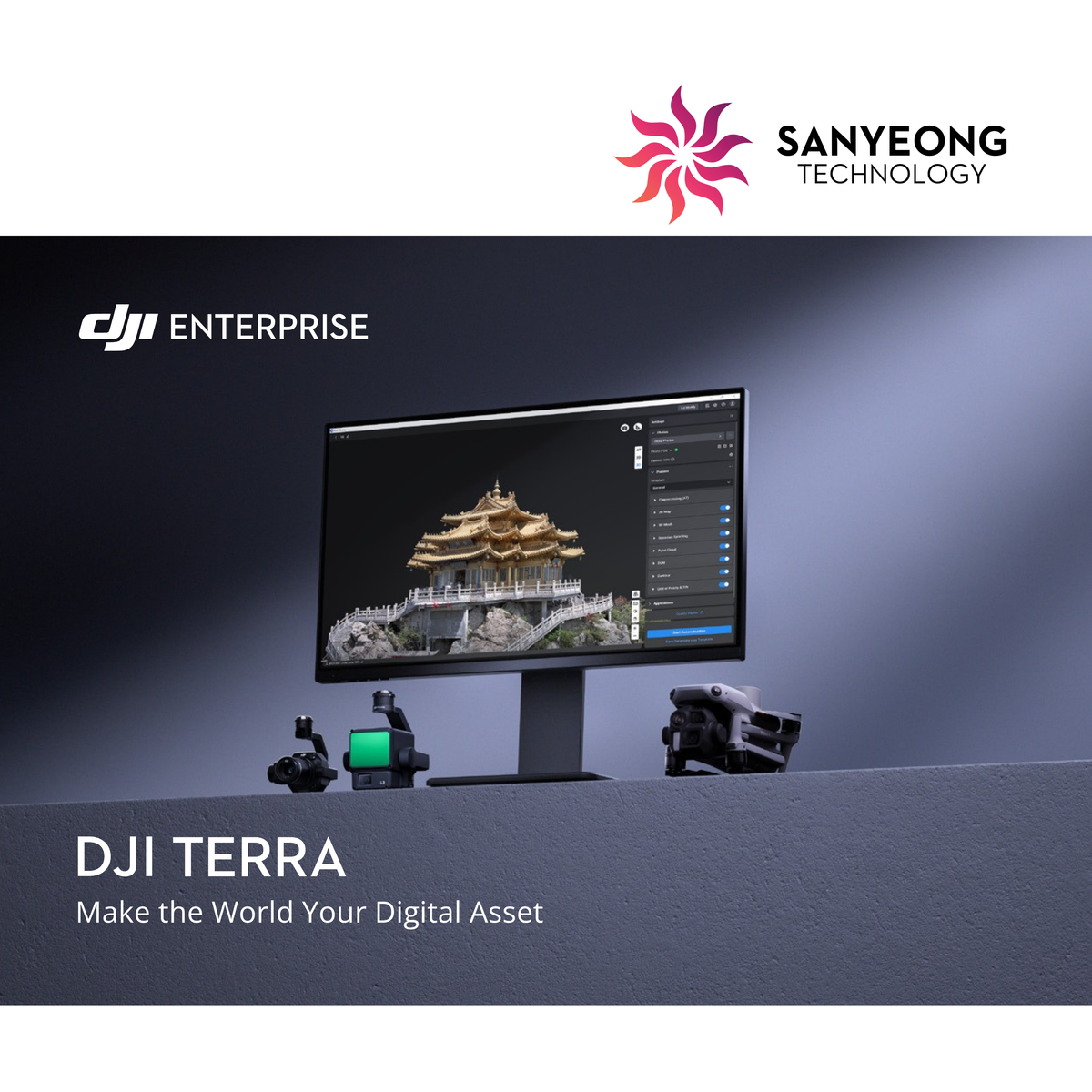
DJI Terra is professional mapping and 3D reconstruction software designed for DJI Enterprise workflows. It supports aerial data processing for surveying, mapping, infrastructure inspection, construction, agriculture and other professional applications.
Choose between Standard and Flagship editions based on your workflow and processing requirements. Annual, permanent and selected offline licence options are available.
Choose Your DJI Terra Licence
Standard
Suitable for users requiring essential mapping and reconstruction capabilities for regular surveying and aerial data processing workflows.
Flagship
Designed for more advanced professional workflows requiring expanded processing capabilities, including complex mapping and LiDAR-related applications.
Available Licence Options
DJI Terra is available in selected:
- 1-Year licences
- Permanent licences
- Online activation
- Offline activation
- Standard and Flagship editions
Upgrade, educational and DJI Terra + DJI Modify bundle licences are also available.
Suitable For
- Land surveying and aerial mapping
- Construction and progress monitoring
- LiDAR data processing
- Infrastructure projects
- Plantation and agricultural mapping
- 2D and 3D reconstruction
- Professional geospatial workflows
Need Help Choosing a Licence?
Not sure whether you need DJI Terra Standard or Flagship, annual or permanent licensing, or an offline licence?
Contact Sanyeong with your application and workflow requirements, and our team can recommend a suitable licence option.
Couldn't load pickup availability